 |
The Tanawha Trail (here is a map by the NPS, even though it is not too great) is a 13.5 mile hike from Beacon Heights in the south, paralleling the Blue Ridge Parkway as it goes around Grandfather Mountain, and ending at Julian Price Park in the north. We ended up creating our own little mini-hike(we were on a tight schedule) of 4.1 miles from the Rough Ridge parking lot to the Boone Fork Parking lot.
 |
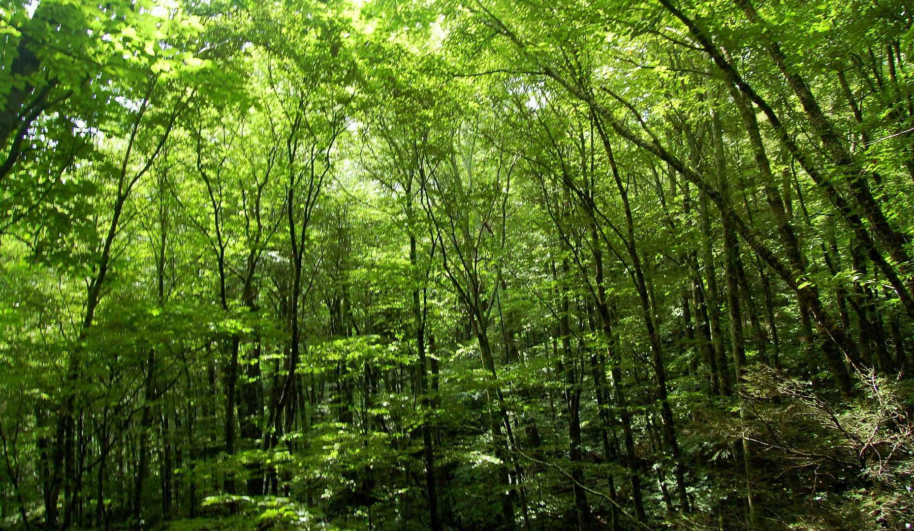
One stop along the way, about one mile from Rough Ridge, is the Raven Rock overlook; however, we did not take this figuring we would not want to descend and reascend and had no idea of the distance down to the overlook on the Parkway. As we hiked through the forest we were amazed at the almost New England style forest and at the amazing rhododendron growth.
 |
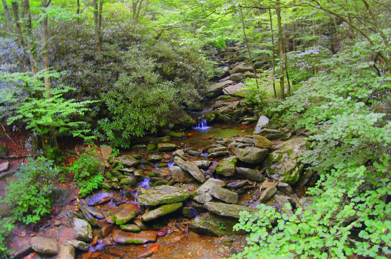
At about the 2.5-3 mile mark from the start of this hike, we encountered Green Mountain Creek which had a nice little bridge over it and it also served as a good place to rest for a couple minutes. Then we continued on through the woods until near the end, we ran into Boone Fork Creek which also had a nice wooden bridge over it. Then we hiked another .5 to .75 miles to the parking lot.
Overall, this was a nice little hike, but we would have liked to see more mountain views. This is a hike through the woods other than the detour to Rough Ridge. Also, the trail map is not accurate, even the park rangers told us this fact, and some of the distances marked on the trail were misleading.
My Rating(out of 5):
Distance: 4.1 miles(from a GPS, might not be exact)
Difficulty: moderate overall, with a few strenuous sections
Helpful Links:
Trail Map by NPS listed above
Great description along with an interactive map
Good information of Rough Ridge and also great pictures
 |

No comments:
Post a Comment